Satellite study reveals mangrove forests are regaining lost ground worldwide
A new analysis of decades-long satellite records shows mangrove ecosystems have expanded naturally in key coastal regions, offering climate protection and shoreline stability.
Written automatically from the sources below and not individually reviewed by a human editor.
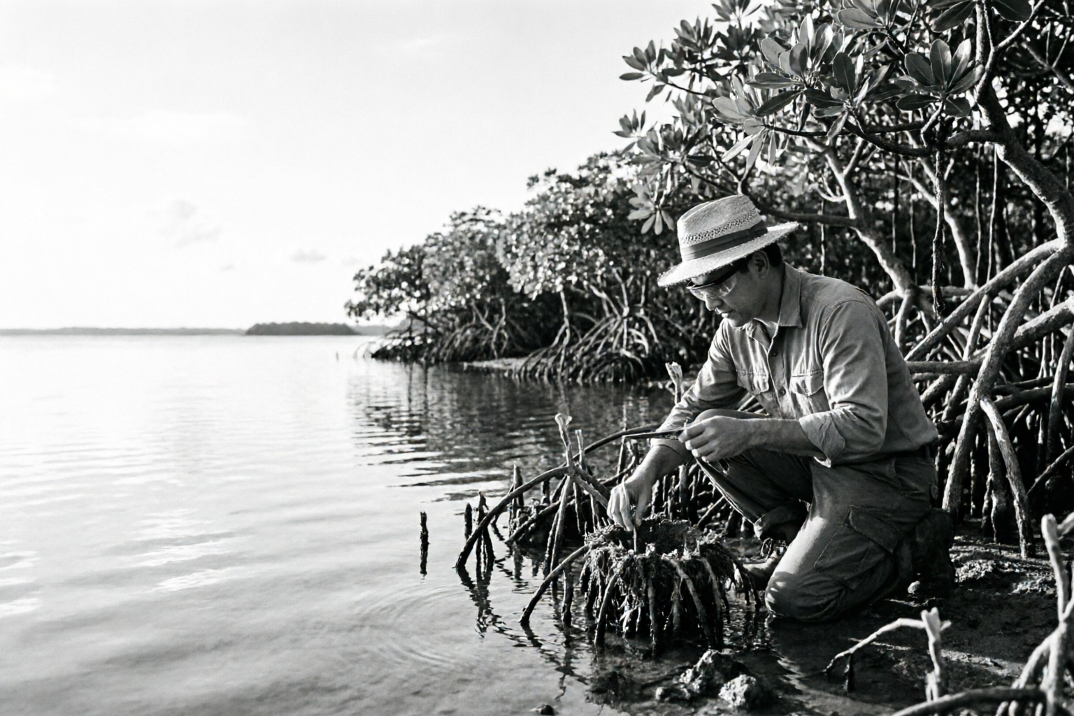
Researchers at Tulane University have documented a surprising rebound in mangrove forests across the planet, using four decades of satellite imagery to track their spread. Unlike many degraded ecosystems, mangroves have not only stabilized but expanded into suitable coastal areas, particularly along the U.S. Gulf Coast, China’s estuaries, and parts of Australia. This recovery reflects a broader slowdown in deforestation pressures, though natural expansion—not restoration projects—has driven most of the gains. The findings highlight mangroves’ outsized role in climate regulation, as their dense biomass and waterlogged soils trap carbon at rates far surpassing most land-based forests. Beyond carbon storage, these coastal forests act as natural barriers against storm surges and erosion, while also sustaining fisheries that underpin local food security. The study’s reliance on annual Landsat data provides an unmatched view of global trends, confirming that mangrove recovery is both measurable and ecologically significant. For coastal communities and climate efforts alike, the results offer a rare bright spot in the fight against environmental decline.
Sources
1 sourceThe article is grounded in the independently assessed evidence listed here.
Generated from retrieved source material, checked for evidence and provenance, and released through runtime safety controls.
Read our editorial standard →Spot a problem?
Reports go to the operator review queue and do not alter the article automatically.