New tool uses satellite data to forecast forest pest threats
Researchers at Cornell University have created a method to monitor European spongy moth damage from space, offering a way to anticipate and manage outbreaks before they spread.
Written automatically from the sources below and not individually reviewed by a human editor.
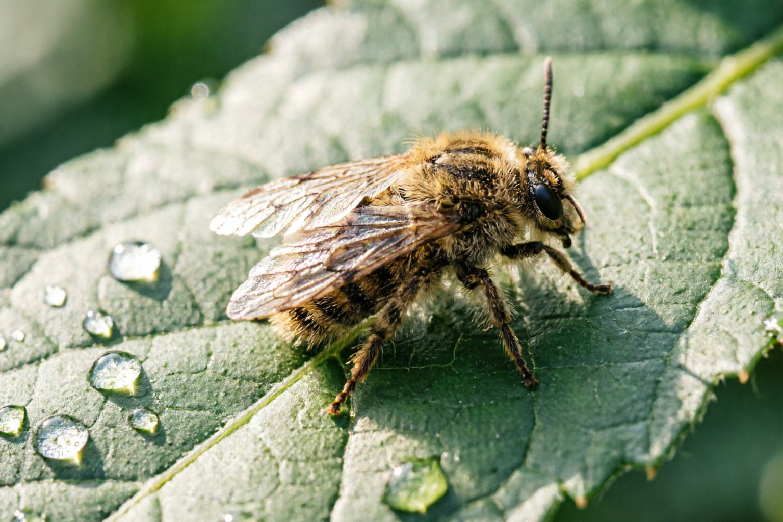
A team of scientists has introduced a satellite-based approach to detect and predict outbreaks of the European spongy moth, a significant threat to forest health. By analyzing imagery from space, researchers can now identify areas where defoliation is occurring, allowing for earlier intervention. The method focuses on regions where warmer, drier conditions have been linked to increased moth survival and broader infestations. While the moth affects a wide range of tree species, conifers face a particularly heightened risk of severe damage or death when outbreaks occur. This development could help forest managers respond more effectively by applying targeted treatments before widespread harm takes place. The study was supported by Cornell’s sustainability initiatives and federal research funding, underscoring its potential to improve long-term forest conservation efforts. The approach represents a shift toward data-driven strategies in pest management, reducing reliance on reactive measures once outbreaks are already underway. By leveraging satellite technology, this method may offer a more precise and efficient way to protect forests across broad landscapes.
Sources
1 sourceThe article is grounded in the independently assessed evidence listed here.
Generated from retrieved source material, checked for evidence and provenance, and released through runtime safety controls.
Read our editorial standard →Spot a problem?
Reports go to the operator review queue and do not alter the article automatically.