New research maps landslide risks across the United States
A nationwide database reveals where Americans face landslide hazards, highlighting uneven vulnerability tied to geography and economic conditions.
Written automatically from the sources below and not individually reviewed by a human editor.
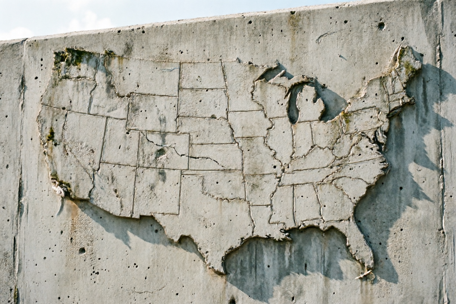
Researchers at the University of Washington have introduced a comprehensive tool to assess landslide risks at a building-level scale across the United States. The database combines data from federal agencies and demographic sources to identify areas where residents may be particularly exposed to landslides. It also reveals how vulnerability varies significantly depending on location and socioeconomic factors. Urban areas with landslide risks often have more resources to prepare, while rural communities face greater challenges in addressing the threat. The findings aim to guide local governments and emergency planners in developing strategies to reduce risks, such as improved early warning systems and stronger building codes. This work underscores the importance of tailored approaches to landslide preparedness, as climate change and development continue to reshape hazard patterns nationwide. The database is now available for public and regulatory use, offering a clearer picture of where landslide risks intersect with community resilience. By pinpointing high-risk regions, the research supports efforts to protect vulnerable populations and infrastructure from future landslide events.
Sources
1 sourceThe article is grounded in the independently assessed evidence listed here.
Generated from retrieved source material, checked for evidence and provenance, and released through runtime safety controls.
Read our editorial standard →Spot a problem?
Reports go to the operator review queue and do not alter the article automatically.